Earthsight· Staffel 1· Folge 3
Case Studies in Validating Maps: Oil Palm and Land Cover
Freitag, 24. Oktober 2025 · 1 h 06
Kapitelklicken springt direkt hin
Shownotes
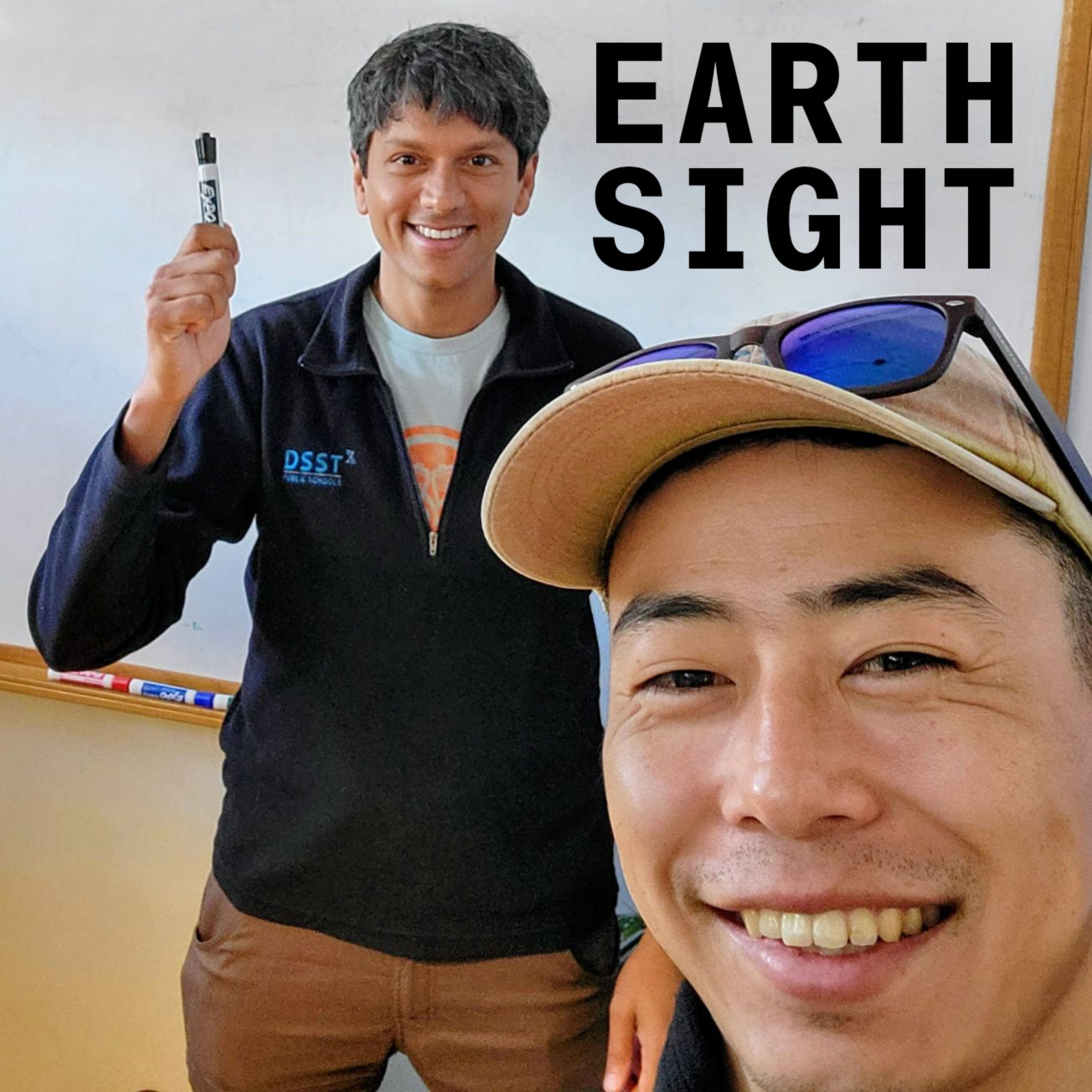
Chris and Krishna talk about validation as a practical part of developing geospatial analytics, focussing on their personal experiences mapping oil palm and land cover at scale.
A central theme in throughout this conversation is the use of auxiliary geospatial products, science and human intuition to validate maps.
() Introduction, what is validation?
() Chris talks about mapping oil palm using Sentinel-1
() Krishna talks about global land cover mapping using Sentinel-2
() What tools do Krishna and Chris use for validation. (Krishna loves QGIS)